Finding Centre
The identity of the United Kingdom and the Isles within are challenged on a daily basis from all corners of the realms within and externally. Brexit and the constant waving of an Independence Referendum by the Scottish Nationalist Party like a carrot on a stick are just some of the current trials.
What is the identity of the United Kingdom? What is the identity of the nations that lie within of England, Wales, Scotland and Northern Island? What lies at the heart, the centre, the omphalos of these countries?
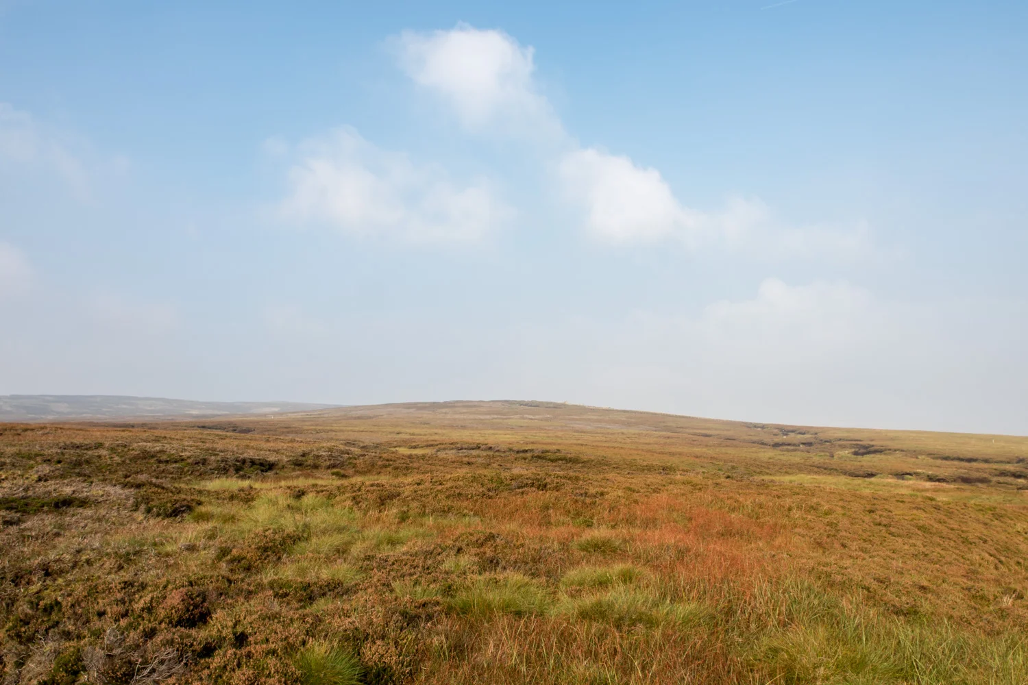
This project sets out to find what lies at the actual geographical centre, the omphalos from where the landscape of the United Kingdom radiates from. Where is it? What does it look like? Learning that there are numerous claims to the centre of England alone, based on legend, myth, history and mathematical calculations, the project is now extended to find all omphalos in the United Kingdom, Great Britain and the countries contained within.
Do these centres on the landscape shed any light through history and geography to clarify the rhetoric in today’s continuously changing cultural, economic, geographical and political debates of the standing and identity of the United Kingdom within Brexit, Europe and the rest of the World?
The centre of a land mass holds no romantic or ethereal connotations as every cartographer and surveyor knows there is no such absolute. The location of for example Great Britain's true centre may never be entirely clear because of debates over what method should be used to calculate and the fact that land changes shape with tides and erosion. The basic problem is one of determining the centre of an irregular three-dimensional object on the surface of a sphere. Not only that, but the irregular landscape of the United Kingdom is surrounded by water which keeps moving about and is responsible for changing the shape of this geographical object on a daily basis. If you consider the movement of tides on a beach, the space of the object will change on a constant basis. Another contributing factor is how far you consider the coast to stretch up river estuaries. Different projections, scales and methods of calculation will all produce different results.